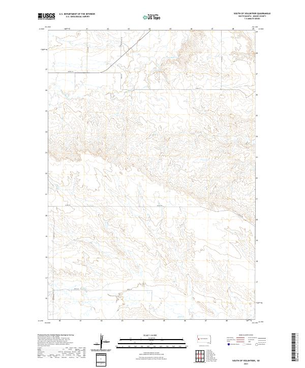
2021 Map of South of Volunteer
USGS Topo · Published 2021About this map
Bear Butte Cr and Alkali Cr define the drainage patterns across this Meade County landscape, where the terrain transitions through several townships including t6n r7e and t5n r8e. This 2021 survey illustrates a sparse, rural environment structured by a grid of section lines and gravel routes. Primary transit is provided by Alkali Rd and Co Hwy Mc-78, which connect isolated homesteads and ranching tracts. The absence of concentrated town sites emphasizes the open-range character of the region south of Volunteer. Genealogists and land researchers can use the precise road network, such as 141st Ave and 202nd St, to pin current land use against historical family holdings in this part of South Dakota.
Find a feature on this map
13 named features on this map. Tap any name to fly to it.
Don’t see what you’re looking for? This feature index may not catch every label — zoom into the map to look around manually.
Map Details
Editions of this 2021 South of Volunteer Map
This is the sole edition of this map. No revisions or reprints were ever made.
Other maps of this area

1893 · Rapid
USGS Topo · 1:125,000

1898 · Rapid
USGS Topo · 1:125,000

1903 · Rapid
USGS Topo · 1:125,000

1906 · Vale
USGS Topo · 1:62,500

1913 · Newell
USGS Topo · 1:125,000

1951 · Volunteer
USGS Topo · 1:24,000

1951 · Volunteer SE
USGS Topo · 1:24,000

1951 · Vale SE
USGS Topo · 1:24,000

1951 · Vale
USGS Topo · 1:62,500

1953 · Rapid City 1 SW
USGS Topo · 1:24,000