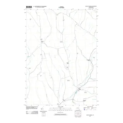
2010 Map of South Otselic
USGS Topo · Published 2010About this map
South Otselic anchors the southern portion of this landscape, where the Otselic River winds through a valley defined by prominent elevations such as Silas Hill Mountain and Parce Mountain. The settlement pattern follows the drainage basins, with smaller hamlets like Mariposa and Lincklaen Center situated near tributary brooks. The upland areas are marked by numerous family and community landmarks, including the Crumb Hill Cemetery to the north and the North Pitcher Cemetery at the southern boundary. This 2010 survey illustrates the enduring rural character of Chenango and Madison counties, where the road network connects historic corner settlements like Waldron Corners and Ufford Corners. Water features such as Mud Creek and Knapp Pond define the western reaches, while the eastern terrain rises toward Truman Hill and the uniquely named Seventh Day Hollow.
Find a feature on this map
65 named features on this map. Tap any name to fly to it.
Don’t see what you’re looking for? This feature index may not catch every label — zoom into the map to look around manually.
Map Details
Editions of this 2010 South Otselic Map
This is the sole edition of this map. No revisions or reprints were ever made.
Other maps of this area

1897 · Cazenovia
USGS Topo · 1:62,500

1899 · Cazenovia
USGS Topo · 1:62,500

1902 · Morrisville
USGS Topo · 1:62,500

1903 · Norwich
USGS Topo · 1:62,500

1904 · Pitcher
USGS Topo · 1:62,500

1943 · Otselic
USGS Topo · 1:24,000

1943 · De Ruyter
USGS Topo · 1:24,000

1943 · West Eaton
USGS Topo · 1:24,000

1943 · South Ostelic
USGS Topo · 1:24,000

1943 · Cincinnatus
USGS Topo · 1:24,000