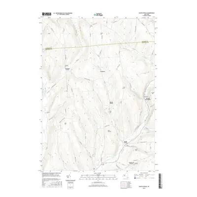
2016 Map of South Otselic
USGS Topo · Published 2016About this map
The Otselic River valley forms the primary geographical axis of this central New York region, where the boundary between Madison and Chenango counties cuts through a series of high ridges and narrow brooks. Settlement patterns follow the winding watercourses and valley floors, notably at South Otselic and the small hamlet of Mariposa. The area is characterized by numerous family and community landmarks, including several hills named for local residents such as Crumb Hill, Truman Hill, and Cary Hill. Genealogists will find a high density of preserved burial sites across the landscape, from the Seventh Day Hollow Cem in the east to Woodlawn Cem in the west. The rugged upland terrain is etched with an intricate network of rural routes like Paradise Hill Rd and Factory Gulf Rd, reflecting the historical transition between timbered ridges and valley agriculture.
Find a feature on this map
73 named features on this map. Tap any name to fly to it.
Don’t see what you’re looking for? This feature index may not catch every label — zoom into the map to look around manually.
Map Details
Editions of this 2016 South Otselic Map
This is the sole edition of this map. No revisions or reprints were ever made.
Other maps of this area

1897 · Cazenovia
USGS Topo · 1:62,500

1899 · Cazenovia
USGS Topo · 1:62,500

1902 · Morrisville
USGS Topo · 1:62,500

1903 · Norwich
USGS Topo · 1:62,500

1904 · Pitcher
USGS Topo · 1:62,500

1943 · Otselic
USGS Topo · 1:24,000

1943 · De Ruyter
USGS Topo · 1:24,000

1943 · West Eaton
USGS Topo · 1:24,000

1943 · South Ostelic
USGS Topo · 1:24,000

1943 · Cincinnatus
USGS Topo · 1:24,000