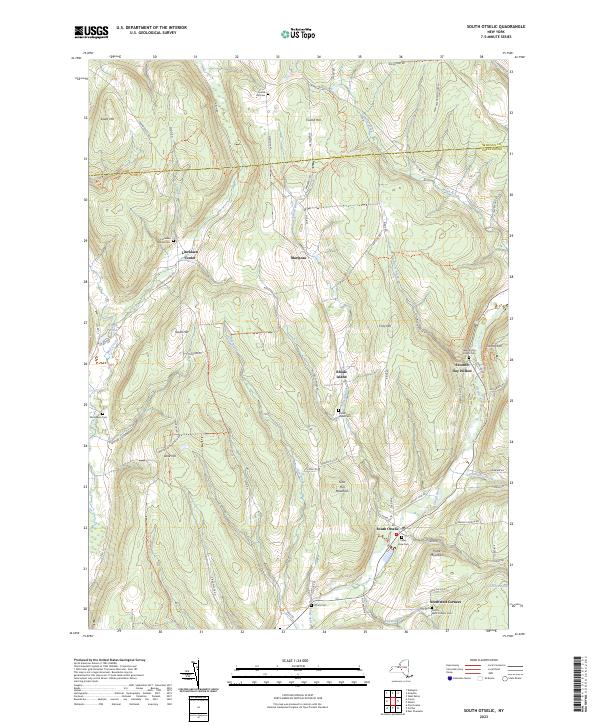
2023 Map of South Otselic
USGS Topo · Published 2023About this map
The Otselic River valley carves through a landscape of high ridges and narrow hollows along the border of Madison and Chenango Counties. The village of South Otselic serves as a primary hub in the southeast, while smaller hamlets like Lincklaen Center and Mariposa are connected by a network of rural roads such as Lincklaen Center Rd and Co Rd 13.
Find a feature on this map
78 named features on this map. Tap any name to fly to it.
Don’t see what you’re looking for? This feature index may not catch every label — zoom into the map to look around manually.
Map Details
Editions of this 2023 South Otselic Map
This is the sole edition of this map. No revisions or reprints were ever made.
Other maps of this area
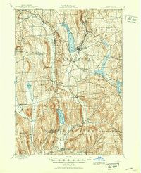
1897 · Cazenovia
USGS Topo · 1:62,500
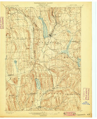
1899 · Cazenovia
USGS Topo · 1:62,500
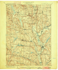
1902 · Morrisville
USGS Topo · 1:62,500
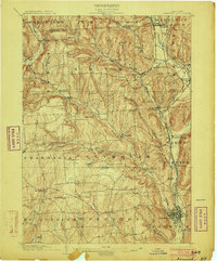
1903 · Norwich
USGS Topo · 1:62,500
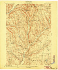
1904 · Pitcher
USGS Topo · 1:62,500
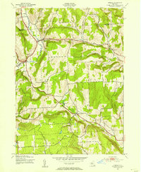
1943 · Otselic
USGS Topo · 1:24,000
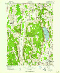
1943 · De Ruyter
USGS Topo · 1:24,000
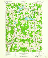
1943 · West Eaton
USGS Topo · 1:24,000
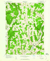
1943 · South Ostelic
USGS Topo · 1:24,000
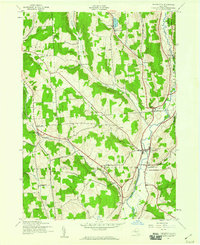
1943 · Cincinnatus
USGS Topo · 1:24,000