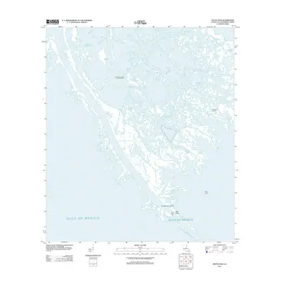
2012 Map of South Pass
USGS Topo · Published 2012About this map
Port Eads serves as the primary settlement on this stretch of the Mississippi River delta, marking a critical transition point where the river's southern terminal meets the Gulf of Mexico. The landscape is a complex maze of waterways and low-lying landforms, defined by major outlets like Dennis Pass, Wright Pass, and Loomis Pass. These channels dictate the geography of the area, creating isolated landmasses such as Lookout Island and providing navigation through the marshy terrain.
Find a feature on this map
18 named features on this map. Tap any name to fly to it.
Don’t see what you’re looking for? This feature index may not catch every label — zoom into the map to look around manually.
Map Details
Editions of this 2012 South Pass Map
This is the sole edition of this map. No revisions or reprints were ever made.
Other maps of this area

1893 · East Delta
USGS Topo · 1:62,500

1893 · West Delta
USGS Topo · 1:62,500

1935 · Garden Island Pass
USGS Topo · 1:31,680

1935 · South Pass
USGS Topo · 1:31,680

1946 · Mudpan Bayou
USGS Topo · 1:31,680

1947 · Garden Island Pass
USGS Topo · 1:31,680

1947 · Pass A Loutre West
USGS Topo · 1:31,680

1947 · Southwest Pass
USGS Topo · 1:31,680

1947 · Pass A Loutre East
USGS Topo · 1:31,680

1949 · Cubits Gap
USGS Topo · 1:31,680