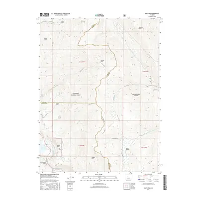
2016 Map of South Peak
USGS Topo · Published 2016About this map
South Peak and the high ridges of the Mosquito Range dominate this corner of the central Rockies, where the borders of Chaffee, Lake, and Park counties meet. The landscape is defined by a dense network of gulches and drainages, including Sawmill Gulch, Hayden Gulch, and Langhoff Gulch, which historically served as corridors for early mountain travel. To the south, the Clear Cr Reservoir sits at the edge of the Arkansas River drainage, marking a transition from high alpine peaks to managed water resources. Evidence of the region’s recreational and working past is visible in the trail systems that follow old routes through Buffalo Meadows and along Tiger Lily Cr. These paths, such as the Rich Creek Trail and Buffalo Ridge Trail, trace the high-altitude meadows and ridges that have long supported seasonal activity within the San Isabel National Forest and Pike National Forest.
Find a feature on this map
41 named features on this map. Tap any name to fly to it.
Don’t see what you’re looking for? This feature index may not catch every label — zoom into the map to look around manually.
Map Details
Editions of this 2016 South Peak Map
This is the sole edition of this map. No revisions or reprints were ever made.
Other maps of this area

1889 · Leadville
USGS Topo · 1:125,000

1891 · Leadville
USGS Topo · 1:125,000

1935 · Mount Elbert
USGS Topo · 1:62,500

1938 · Mount Elbert
USGS Topo · 1:62,500

1939 · Mount Elbert
USGS Topo · 1:62,500

1942 · Leadville
USGS Topo · 1:125,000

1955 · Buena Vista
USGS Topo · 1:62,500

1955 · Mount Harvard
USGS Topo · 1:62,500

1956 · Montrose
USGS Topo · 1:250,000

1957 · Leadville
USGS Topo · 1:250,000