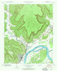
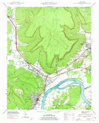
1942 Map of South Pittsburg
USGS Topo · Published 1970About this map
South Pittsburg serves as the industrial and social anchor of this valley landscape, positioned along the western bank of the Tennessee River. The 1942 field examination captures the area as the Guntersville Lake waters reached their modern extent, with the Reservation Boundary clearly marking protected shorelines. The town's grid is dense with development, including the Lodge Point landmark and connections to nearby Raulstontown. To the north and west, the terrain rises sharply toward the Cumberland Plateau, where steep bluffs like Fullerton Bluff overlook winding waterways.
Find a feature on this map
73 named features on this map. Tap any name to fly to it.
Don’t see what you’re looking for? This feature index may not catch every label — zoom into the map to look around manually.
Map Details
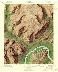
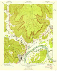
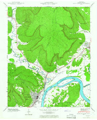
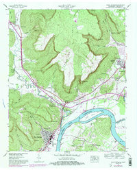
Editions of this 1942 South Pittsburg Map
6 editions found
Other maps of this area

1886 · Stevenson
USGS Topo · 1:125,000

1892 · Stevenson
USGS Topo · 1:125,000

1895 · Stevenson
USGS Topo · 1:125,000

1895 · Sewanee
USGS Topo · 1:125,000

1936 · Shellmound
USGS Topo · 1:24,000

1936 · Orme
USGS Topo · 1:24,000

1936 · Bridgeport
USGS Topo · 1:24,000

1936 · Whitwell
USGS Topo · 1:24,000

1936 · Monteagle
USGS Topo · 1:24,000

1936 · White City
USGS Topo · 1:24,000