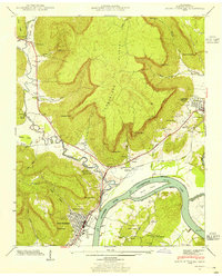
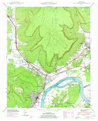
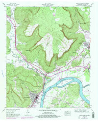
1942 Map of South Pittsburg
USGS Topo · Published 1955About this map
South Pittsburg stands at the foot of the Cumberland Plateau in this 1942 survey, where the Tennessee River creates a wide bend containing Burns Island. The landscape is defined by its dramatic relief, with numerous "coves" such as Sweden Cove and Gilliam Cove carved into the plateau edge. This era shows the convergence of vital transport corridors, including the Nashville Chattanooga and St Louis Railway and the Dixie Highway, which skirt the river and the base of the mountains to connect industrial centers like Richard City and Jasper.
Find a feature on this map
68 named features on this map. Tap any name to fly to it.
Don’t see what you’re looking for? This feature index may not catch every label — zoom into the map to look around manually.
Map Details
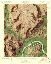
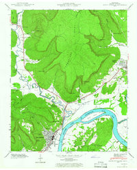
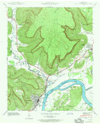
Editions of this 1942 South Pittsburg Map
6 editions found
Other maps of this area

1886 · Stevenson
USGS Topo · 1:125,000

1892 · Stevenson
USGS Topo · 1:125,000

1895 · Stevenson
USGS Topo · 1:125,000

1895 · Sewanee
USGS Topo · 1:125,000

1936 · Shellmound
USGS Topo · 1:24,000

1936 · Orme
USGS Topo · 1:24,000

1936 · Bridgeport
USGS Topo · 1:24,000

1936 · Whitwell
USGS Topo · 1:24,000

1936 · Monteagle
USGS Topo · 1:24,000

1936 · White City
USGS Topo · 1:24,000