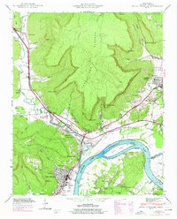
1942 Map of South Pittsburg
USGS Topo · Published 1974About this map
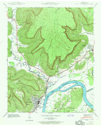
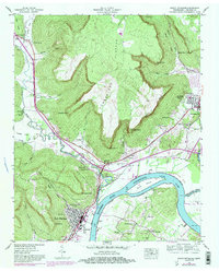
The Tennessee River winds through the heart of this valley, marking a landscape defined by the towering heights of the Cumberland Plateau to the north and the industrial and residential hubs along its banks. The river, expanded here into Guntersville Lake, creates a broad waterway surrounding Burns Island and leading toward the Sequatchie River confluence. The development of Jasper and South Pittsburg is clearly charted, with the latter showing a dense street grid near Lodge Point and the neighborhood of Hamburg.
Find a feature on this map
65 named features on this map. Tap any name to fly to it.
Don’t see what you’re looking for? This feature index may not catch every label — zoom into the map to look around manually.
Map Details
Editions of this 1942 South Pittsburg Map
6 editions found
Other maps of this area

1886 · Stevenson
USGS Topo · 1:125,000

1892 · Stevenson
USGS Topo · 1:125,000

1895 · Stevenson
USGS Topo · 1:125,000

1895 · Sewanee
USGS Topo · 1:125,000

1936 · Shellmound
USGS Topo · 1:24,000

1936 · Orme
USGS Topo · 1:24,000

1936 · Bridgeport
USGS Topo · 1:24,000

1936 · Whitwell
USGS Topo · 1:24,000

1936 · Monteagle
USGS Topo · 1:24,000

1936 · White City
USGS Topo · 1:24,000