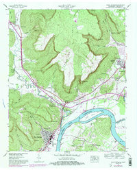
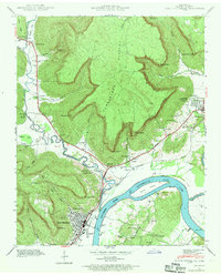
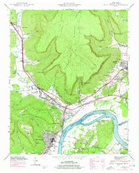
1942 Map of South Pittsburg
USGS Topo · Published 1983About this map
Guntersville Lake and the Tennessee River dominate the southern portion of this region, where the broad waters meet the dramatic rise of the Cumberland Plateau. The industrial and residential center of South Pittsburg is shown in detail, flanked by Lodge Point and the neighboring settlement of Richard City. Along the riverbanks, Burns Island sits just upstream from where the Sequatchie River joins the main flow.
Find a feature on this map
86 named features on this map. Tap any name to fly to it.
Don’t see what you’re looking for? This feature index may not catch every label — zoom into the map to look around manually.
Map Details
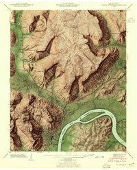
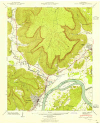
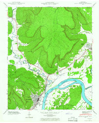
Editions of this 1942 South Pittsburg Map
6 editions found
Other maps of this area

1886 · Stevenson
USGS Topo · 1:125,000

1892 · Stevenson
USGS Topo · 1:125,000

1895 · Stevenson
USGS Topo · 1:125,000

1895 · Sewanee
USGS Topo · 1:125,000

1936 · Shellmound
USGS Topo · 1:24,000

1936 · Orme
USGS Topo · 1:24,000

1936 · Bridgeport
USGS Topo · 1:24,000

1936 · Whitwell
USGS Topo · 1:24,000

1936 · Monteagle
USGS Topo · 1:24,000

1936 · White City
USGS Topo · 1:24,000