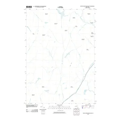
2010 Map of South Pond Mountain
USGS Topo · Published 2010About this map
Siamese Ponds and the high peaks of the Adirondacks dominate this 2010 topographic record of Johnsburg, New York. The landscape is defined by its complex drainage systems, where the East Branch Sacandaga River and the Kunjamuk River carve paths through a succession of named summits, including Big Shanty Mountain and South Pond Mountain. Remnants of human activity in this heavily forested terrain are visible in named open spaces like Burnt Shanty Clearing and Curtis Clearing, which stand out against the surrounding wilderness. The presence of numerous water bodies like Hayes Flow, Buckhorn Ponds, and Cod Pond reflects the saturated, high-elevation environment of the Blue Hills. This survey provides essential detail for researchers studying the intersection of historical clearings and the enduring hydrography of Warren County.
Find a feature on this map
41 named features on this map. Tap any name to fly to it.
Don’t see what you’re looking for? This feature index may not catch every label — zoom into the map to look around manually.
Map Details
Editions of this 2010 South Pond Mountain Map
This is the sole edition of this map. No revisions or reprints were ever made.
Other maps of this area

1898 · Thirteenth Lake
USGS Topo · 1:62,500

1899 · Indian Lake
USGS Topo · 1:62,500

1902 · Indian Lake
USGS Topo · 1:62,500

1907 · Lake Pleasant
USGS Topo · 1:62,500

1910 · Stony Creek
USGS Topo · 1:62,500

1950 · Utica
USGS Topo · 1:250,000

1954 · Lake Pleasant
USGS Topo · 1:62,500

1954 · Thirteenth Lake
USGS Topo · 1:62,500

1954 · Indian Lake
USGS Topo · 1:62,500

1954 · Harrisburg
USGS Topo · 1:62,500