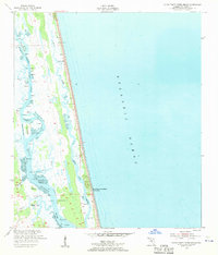
1952 Map of South Ponte Vedra Beach
USGS Topo · Published 1956About this map
Tolomato River and the Guano River define the intricate barrier island and marsh systems of the Florida coast in the early 1950s. This survey records a landscape shaped by water and small maritime settlements, long before the extensive modern developments common today. The map details the route of the Intracoastal Waterway as it bypasses several historic points of access, including Cook Landing, Spanish Landing, and Booth Landing.
Find a feature on this map
20 named features on this map. Tap any name to fly to it.
Don’t see what you’re looking for? This feature index may not catch every label — zoom into the map to look around manually.
Map Details
Editions of this 1952 South Ponte Vedra Beach Map
5 editions found
Other maps of this area

1918 · Palm Valley
USGS Topo · 1:62,500

1937 · Bakersville
USGS Topo · 1:24,000

1937 · St. Augustine
USGS Topo · 1:24,000

1943 · St. Augustine
USGS Topo · 1:62,500

1948 · Jacksonville
USGS Topo · 1:250,000
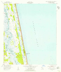
1952 · South Ponte Vedra Beach
USGS Topo · 1:24,000
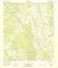
1952 · Durbin
USGS Topo · 1:24,000
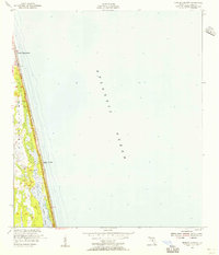
1952 · Mickler Landing
USGS Topo · 1:24,000
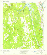
1952 · Palm Valley
USGS Topo · 1:24,000

1954 · Daytona Beach
USGS Topo · 1:250,000