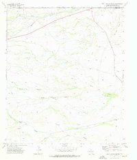
1973 Map of South Rector Canyon
USGS Topo · Published 1976About this map
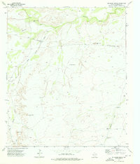
The high desert landscape along the New Mexico-Texas border is defined by a complex network of dry washes and canyons, where mid-century infrastructure supports remote ranching and energy interests. Crossing the Eddy and Culberson County line, the terrain transitions through the Yeso Hills and into deep limestone carvings like Mc Kittrick Canyon and Big Canyon. Water security in this arid environment is evident through a series of isolated improvements, including Star Windmill, Mare Windmill, and North Windmill, which served livestock across the vast South Rector Canyon area.
Find a feature on this map
21 named features on this map. Tap any name to fly to it.
Don’t see what you’re looking for? This feature index may not catch every label — zoom into the map to look around manually.
Map Details
Editions of this 1973 South Rector Canyon Map
This is the sole edition of this map. No revisions or reprints were ever made.
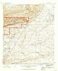
Other maps of this area
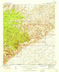
1940 · Carlsbad Caverns West
USGS Topo · 1:62,500

1943 · Carlsbad Caverns West
USGS Topo · 1:62,500
1945 · Carlsbad Caverns East
USGS Topo · 1:62,500

1947 · Carlsbad Caverns East
USGS Topo · 1:62,500

1954 · Carlsbad
USGS Topo · 1:250,000

1954 · Van Horn
USGS Topo · 1:250,000

1958 · Van Horn
USGS Topo · 1:250,000

1958 · Carlsbad
USGS Topo · 1:250,000
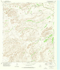
1973 · Cow Mountain
USGS Topo · 1:24,000
1973 · Delaware Spring
USGS Topo · 1:24,000