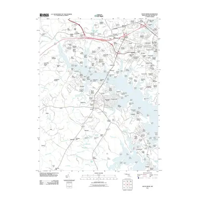
2011 Map of South River
USGS Topo · Published 2011About this map
The South River serves as the central artery for this portion of Anne Arundel County, carving a complex coastline of points and reaches just west of the Chesapeake Bay. This survey illustrates the dense residential and maritime character of the region, from the suburban development in Parole and Admiral Heights to the waterfront communities of London Towne and Mayo. The transition from the urban fringes of Annapolis to more open agricultural and wooded tracts is evident near Java Farms and Summer Hill Farm. Maritime infrastructure is a defining characteristic of the landscape, with numerous facilities such as the London Towne Marina and Oak Grove Marina supporting the local boating economy. Genealogists and local historians will find significant value in the documentation of several burial grounds, including the National Cemetery, Hillcrest Memorial Cemetery, and the older All Hallows Cemetery located near the headwaters of Glebe Branch.
Find a feature on this map
339 named features on this map. Tap any name to fly to it.
Don’t see what you’re looking for? This feature index may not catch every label — zoom into the map to look around manually.
Map Details
Editions of this 2011 South River Map
This is the sole edition of this map. No revisions or reprints were ever made.
Other maps of this area

1892 · Owensville
USGS Topo · 1:62,500

1892 · Annapolis
USGS Topo · 1:62,500

1893 · North Point
USGS Topo · 1:62,500

1894 · Relay
USGS Topo · 1:62,500

1895 · Owensville
USGS Topo · 1:62,500

1898 · Choptank
USGS Topo · 1:125,000

1898 · Tolchester
USGS Topo · 1:125,000

1899 · Patuxent
USGS Topo · 1:125,000

1903 · Tolchester
USGS Topo · 1:125,000

1904 · North Point
USGS Topo · 1:62,500