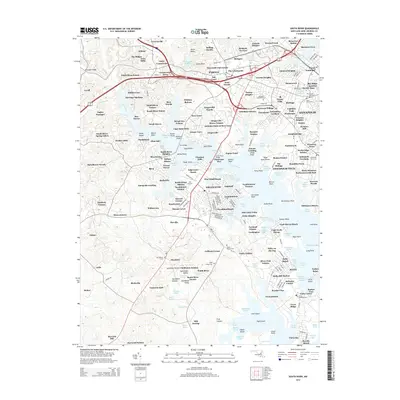
2014 Map of South River
USGS Topo · Published 2014About this map
The Annapolis waterfront and the surrounding South River basin are defined by a complex network of creeks and residential expansion in this 2014 survey. This portion of Anne Arundel County shows the dense settlement patterns of the Maryland capital, including the grounds of the Naval Academy and the busy commercial corridor of Parole. The transition from urban density to the sprawling wooded neighborhoods of Annapolis Neck is visible, with numerous small harbors such as Glebe Bay and Selby Bay Yacht Basin supporting the local maritime culture.
Find a feature on this map
270 named features on this map. Tap any name to fly to it.
Don’t see what you’re looking for? This feature index may not catch every label — zoom into the map to look around manually.
Map Details
Editions of this 2014 South River Map
This is the sole edition of this map. No revisions or reprints were ever made.
Other maps of this area

1892 · Owensville
USGS Topo · 1:62,500

1892 · Annapolis
USGS Topo · 1:62,500

1893 · North Point
USGS Topo · 1:62,500

1894 · Relay
USGS Topo · 1:62,500

1895 · Owensville
USGS Topo · 1:62,500

1898 · Choptank
USGS Topo · 1:125,000

1898 · Tolchester
USGS Topo · 1:125,000

1899 · Patuxent
USGS Topo · 1:125,000

1903 · Tolchester
USGS Topo · 1:125,000

1904 · North Point
USGS Topo · 1:62,500