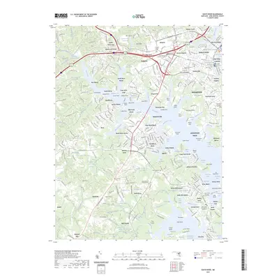
2023 Map of South River
USGS Topo · Published 2023About this map
The South River and its intricate network of tidal creeks and marshes dominate this 2023 survey of Anne Arundel County. The landscape reflects centuries of maritime influence, from the sprawling grounds of the Naval Academy and the Upper Yard Annapolis in the northeast to the residential peninsulas of Annapolis Neck. The map is particularly rich in genealogical sites, detailing numerous burial grounds such as the Annapolis Hebrew Cem, Saint Marys Cem, and All Hallows Cem.
Find a feature on this map
333 named features on this map. Tap any name to fly to it.
Don’t see what you’re looking for? This feature index may not catch every label — zoom into the map to look around manually.
Map Details
Editions of this 2023 South River Map
This is the sole edition of this map. No revisions or reprints were ever made.
Other maps of this area

1892 · Owensville
USGS Topo · 1:62,500

1892 · Annapolis
USGS Topo · 1:62,500

1893 · North Point
USGS Topo · 1:62,500

1894 · Relay
USGS Topo · 1:62,500

1895 · Owensville
USGS Topo · 1:62,500

1898 · Choptank
USGS Topo · 1:125,000

1898 · Tolchester
USGS Topo · 1:125,000

1899 · Patuxent
USGS Topo · 1:125,000

1903 · Tolchester
USGS Topo · 1:125,000

1904 · North Point
USGS Topo · 1:62,500