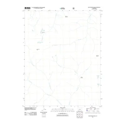
2011 Map of South River Peak
USGS Topo · Published 2011About this map
South River Peak and the surrounding high-altitude drainage basins define this portion of the San Juan Mountains in the early 21st century. The map documents a complex hydrological system where Goose Creek is managed by the Goose Lake Dam, creating a reservoir at Goose Lake above the smaller Little Goose Lake. These waters eventually feed into a network of alpine streams including Ivy Creek and Fisher Creek.
Find a feature on this map
17 named features on this map. Tap any name to fly to it.
Don’t see what you’re looking for? This feature index may not catch every label — zoom into the map to look around manually.
Map Details
Editions of this 2011 South River Peak Map
This is the sole edition of this map. No revisions or reprints were ever made.
Other maps of this area

1905 · San Cristobal
USGS Topo · 1:125,000

1907 · San Cristobal
USGS Topo · 1:125,000

1913 · Summitville
USGS Topo · 1:125,000

1914 · Creede
USGS Topo · 1:125,000

1915 · Summitville
USGS Topo · 1:125,000

1916 · Creede
USGS Topo · 1:125,000

1924 · Pagosa Springs
USGS Topo · 1:125,000

1927 · Pagosa Springs
USGS Topo · 1:125,000

1945 · Durango
USGS Topo · 1:250,000

1953 · Durango
USGS Topo · 1:250,000