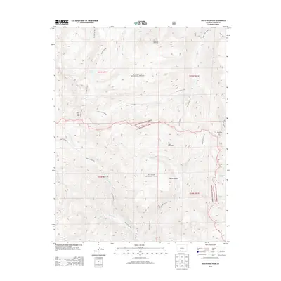
2013 Map of South River Peak
USGS Topo · Published 2013About this map
Rainbow Hot Springs sits at the southern heart of this high-altitude landscape, where the W Fork San Juan River carves a deep path between the massive divides of the Rio Grande National Forest and San Juan National Forest. The 2013 survey illustrates a high-country network defined by drainage basins and ridgeline summits, notably South River Peak and Sawtooth Mountain. Alpine hydrology is a defining characteristic of this terrain, with isolated water bodies such as Archuleta Lake and Spotted Lake appearing near the eastern boundary.
Find a feature on this map
30 named features on this map. Tap any name to fly to it.
Don’t see what you’re looking for? This feature index may not catch every label — zoom into the map to look around manually.
Map Details
Editions of this 2013 South River Peak Map
This is the sole edition of this map. No revisions or reprints were ever made.
Other maps of this area

1905 · San Cristobal
USGS Topo · 1:125,000

1907 · San Cristobal
USGS Topo · 1:125,000

1913 · Summitville
USGS Topo · 1:125,000

1914 · Creede
USGS Topo · 1:125,000

1915 · Summitville
USGS Topo · 1:125,000

1916 · Creede
USGS Topo · 1:125,000

1924 · Pagosa Springs
USGS Topo · 1:125,000

1927 · Pagosa Springs
USGS Topo · 1:125,000

1945 · Durango
USGS Topo · 1:250,000

1953 · Durango
USGS Topo · 1:250,000