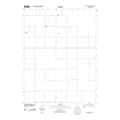
2010 Map of South Roggen
USGS Topo · Published 2010About this map
South Roggen anchors this portion of the high plains in Weld County, where a strictly organized grid of county roads defines the agricultural and industrial landscape. The terrain is marked by a network of ephemeral watercourses including Lost Creek, Kiowa Creek, and Jack Rabbit Creek, which cut through the level topography. In the southwest corner, the Henrylyn Canal introduces a critical irrigation element to this arid environment. Aviation and energy production are prominent features of the area's modern infrastructure, with the Ranchero Oil Field and specialized landing strips like Reid Ranches Airport and the Air Dusters Incorporated Airport serving the needs of local ranchers and crop dusters. The map illustrates a region where resource extraction and large-scale farming coexist with traditional ranching operations.
Find a feature on this map
27 named features on this map. Tap any name to fly to it.
Don’t see what you’re looking for? This feature index may not catch every label — zoom into the map to look around manually.
Map Details
Editions of this 2010 South Roggen Map
This is the sole edition of this map. No revisions or reprints were ever made.
Other maps of this area

1949 · Sunnydale
USGS Topo · 1:24,000

1950 · South Roggen
USGS Topo · 1:24,000

1950 · Wiggins SW
USGS Topo · 1:24,000

1950 · Tampa
USGS Topo · 1:24,000

1950 · Prospect Valley
USGS Topo · 1:24,000

1951 · Prospect Valley
USGS Topo · 1:24,000

1951 · Living Springs
USGS Topo · 1:24,000

1951 · Roggen
USGS Topo · 1:24,000

1951 · Leader NW
USGS Topo · 1:24,000

1951 · Omar
USGS Topo · 1:24,000