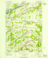
1943 Map of South Rutland
USGS Topo · Published 1954About this map
The Black River corridor defines the northern edge of this 1943 survey, where the New York Central Railroad mirrors the waterway's path past Huntington Island and Woodwards Side Hill. Moving south from the outskirts of Watertown, the landscape transitions into the rolling agricultural lands of Rutland. This area is characterized by a dense network of one-room schoolhouses, including School No 10 and School No 6, which served the scattered farmsteads before district consolidation.
Find a feature on this map
57 named features on this map. Tap any name to fly to it.
Don’t see what you’re looking for? This feature index may not catch every label — zoom into the map to look around manually.
Map Details
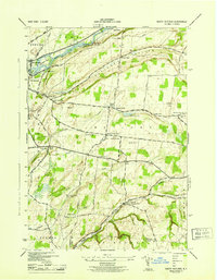
Editions of this 1943 South Rutland Map
2 editions found
Other maps of this area

1895 · Watertown
USGS Topo · 1:62,500

1898 · Watertown
USGS Topo · 1:62,500

1902 · Carthage
USGS Topo · 1:62,500

1903 · Theresa
USGS Topo · 1:62,500

1904 · Carthage
USGS Topo · 1:62,500

1908 · Watertown
USGS Topo · 1:62,500

1909 · Watertown
USGS Topo · 1:62,500

1911 · Antwerp
USGS Topo · 1:62,500

1942 · Copenhagen
USGS Topo · 1:24,000
1943 · Barnes Corners
USGS Topo · 1:31,680