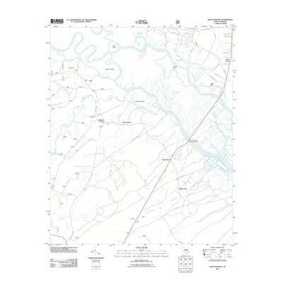
2011 Map of South Santee
USGS Topo · Published 2011About this map
The Santee River system dominates this coastal South Carolina landscape, where the main channel splits into the North Santee River and the South Santee River. This deltaic environment is defined by low-lying land masses like Hampton Island, Goat Island, and Daniels Island, which are separated by a complex network of smaller tidal flows including Chicken Creek and Push and Go Creek. The intersection of river and road is anchored by the John T Stevens Memorial Bridge, carrying modern transit across the wetlands.
Find a feature on this map
56 named features on this map. Tap any name to fly to it.
Don’t see what you’re looking for? This feature index may not catch every label — zoom into the map to look around manually.
Map Details
Editions of this 2011 South Santee Map
This is the sole edition of this map. No revisions or reprints were ever made.
Other maps of this area

1942 · Cedar Creek
USGS Topo · 1:24,000

1942 · Cape Romain
USGS Topo · 1:24,000

1942 · Mc Clellanville
USGS Topo · 1:24,000

1942 · Honey Hill
USGS Topo · 1:24,000

1943 · Kilsock Bay
USGS Topo · 1:24,000

1943 · Santee
USGS Topo · 1:24,000

1943 · Awendaw
USGS Topo · 1:24,000

1943 · Minim Island
USGS Topo · 1:24,000

1943 · Georgetown South
USGS Topo · 1:24,000

1947 · Georgetown South
USGS Topo · 1:24,000