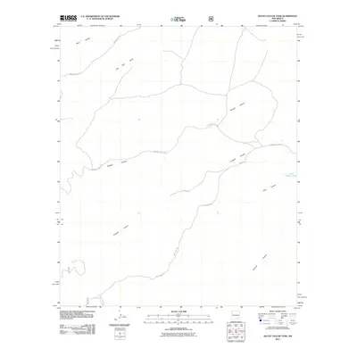
2011 Map of South Taylor Tank
USGS Topo · Published 2011About this map
Sargent Canyon and Bear Canyon dominate the topography of this high-desert landscape on the border of Chaves County and Eddy County. The terrain is defined by a network of drainage systems and primitive routes, where essential water sources like South Taylor Tank and the seasonal Holt Tank Draw supported the region's livestock and wildlife. Transportation in this corner of New Mexico relies on a series of unpaved tracks, including Bear Canyon Rd, Sargent Canyon Rd, and Forest Road 518, which navigate the deep divides of Crooked Canyon and Buzzard Canyon. This survey captures the rural character of the area at the start of the 21st century, illustrating how the natural draws and canyon floors dictate the path of human infrastructure.
Find a feature on this map
14 named features on this map. Tap any name to fly to it.
Don’t see what you’re looking for? This feature index may not catch every label — zoom into the map to look around manually.
Map Details
Editions of this 2011 South Taylor Tank Map
This is the sole edition of this map. No revisions or reprints were ever made.
Other maps of this area

1943 · Texas Hill
USGS Topo · 1:62,500

1945 · Texas Hill
USGS Topo · 1:62,500

1954 · Carlsbad
USGS Topo · 1:250,000

1958 · Carlsbad
USGS Topo · 1:250,000

1963 · Panama Ranch
USGS Topo · 1:24,000

1965 · Lewis Peak NE
USGS Topo · 1:24,000

1965 · Bullis Spring Ranch
USGS Topo · 1:24,000

1978 · Strychnine Draw
USGS Topo · 1:24,000

1978 · Encino Draw
USGS Topo · 1:24,000

1978 · Artesia
USGS Topo · 1:100,000