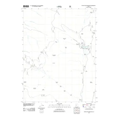
2011 Map of South Tent Mountain
USGS Topo · Published 2011About this map
South Tent Mountain and North Tent Mountain anchor this high-elevation portion of the Wasatch Plateau, where water management and seasonal grazing define the landscape. The infrastructure here is notably focused on water transport, with several mountain conduits including Mountain Tunnel, Cedar Creek Tunnel, and Spring City Tunnel facilitating flow through the high ridges. These systems interact with the Spring City Ditch to manage resources across the divide, reflecting long-standing agricultural and municipal water needs in Sanpete County.
Find a feature on this map
51 named features on this map. Tap any name to fly to it.
Don’t see what you’re looking for? This feature index may not catch every label — zoom into the map to look around manually.
Map Details
Editions of this 2011 South Tent Mountain Map
This is the sole edition of this map. No revisions or reprints were ever made.
Other maps of this area

1885 · Manti
USGS Topo · 1:250,000

1895 · Manti
USGS Topo · 1:250,000

1923 · Scofield
USGS Topo · 1:62,500

1923 · Hiawatha
USGS Topo · 1:62,500

1925 · Scofield
USGS Topo · 1:62,500

1925 · Hiawatha
USGS Topo · 1:62,500

1956 · Price
USGS Topo · 1:250,000

1960 · Price
USGS Topo · 1:250,000

1962 · Price
USGS Topo · 1:250,000

1965 · Huntington Reservoir
USGS Topo · 1:24,000