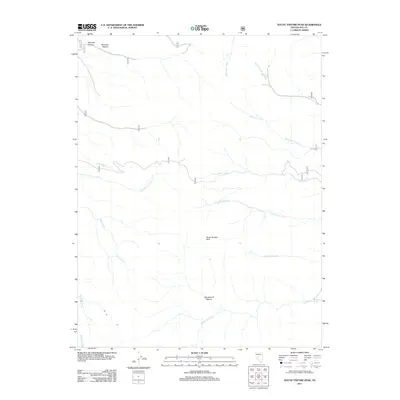
2011 Map of South Toiyabe Peak
USGS Topo · Published 2011About this map
South Toiyabe Peak stands as the central topographic focal point in this high-elevation portion of Nye County. The landscape is defined by a complex network of seasonal and perennial drainage systems, including Ophir Creek, Last Chance Creek, and Hercules Creek, which carve through the terrain. Human presence is indicated primarily by named livestock grazing areas such as Mohawk Pasture in the north and Werdenhoff Pasture further south.
Find a feature on this map
15 named features on this map. Tap any name to fly to it.
Don’t see what you’re looking for? This feature index may not catch every label — zoom into the map to look around manually.
Map Details
Editions of this 2011 South Toiyabe Peak Map
This is the sole edition of this map. No revisions or reprints were ever made.
Other maps of this area

1907 · Tonopah
USGS Topo · 1:250,000

1908 · Tonopah
USGS Topo · 1:250,000

1955 · Millett
USGS Topo · 1:250,000

1956 · North Shoshone Peak
USGS Topo · 1:62,500

1956 · Millett Ranch
USGS Topo · 1:62,500

1956 · Tonopah
USGS Topo · 1:250,000

1959 · Tonopah
USGS Topo · 1:250,000

1959 · Millett
USGS Topo · 1:250,000

1962 · Tonopah
USGS Topo · 1:250,000

1971 · Carvers NW
USGS Topo · 1:24,000