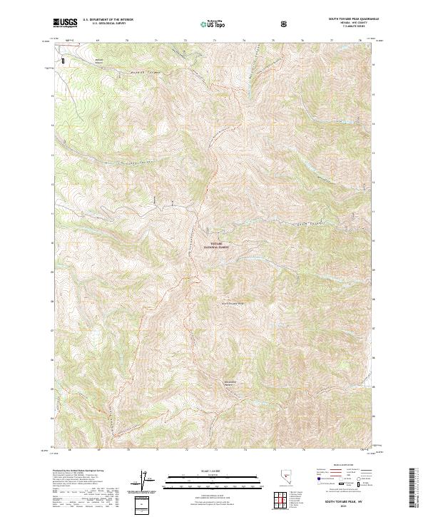
2021 Map of South Toiyabe Peak
USGS Topo · Published 2021About this map
South Toiyabe Peak stands as the central landmark of this high-elevation landscape within the Toiyabe National Forest. The map detail reveals an intricate network of drainages and canyons, including the significant Ophir Canyon and Wisconsin Canyon to the east, and Mohawk Canyon to the northwest. This area of Nye County is defined by its recreation-focused infrastructure, notably the Toiyabe Crest National Recreation Trl which traverses the ridgelines. Water sources are frequent but localized, from N Twin River in the south to Timblin Cr in the northeast. The presence of Mohawk Pasture and Werdenhoff Pasture suggests historical and ongoing land use for grazing amidst the steep topography. Significant trail systems like the North Twin River Trl and the Twin Rivers Loop provide the primary access through these remote canyons and peaks.
Find a feature on this map
35 named features on this map. Tap any name to fly to it.
Don’t see what you’re looking for? This feature index may not catch every label — zoom into the map to look around manually.
Map Details
Editions of this 2021 South Toiyabe Peak Map
This is the sole edition of this map. No revisions or reprints were ever made.
Other maps of this area

1907 · Tonopah
USGS Topo · 1:250,000

1908 · Tonopah
USGS Topo · 1:250,000

1955 · Millett
USGS Topo · 1:250,000

1956 · North Shoshone Peak
USGS Topo · 1:62,500

1956 · Millett Ranch
USGS Topo · 1:62,500

1956 · Tonopah
USGS Topo · 1:250,000

1959 · Tonopah
USGS Topo · 1:250,000

1959 · Millett
USGS Topo · 1:250,000

1962 · Tonopah
USGS Topo · 1:250,000

1971 · Carvers NW
USGS Topo · 1:24,000