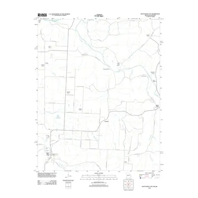
2012 Map of South West City
USGS Topo · Published 2012About this map
South West City anchors the southwestern corner of this 2012 survey, situated where the Honey Creek valley meets the expansive Cowskin Prairie. This landscape is defined by the winding course of the Elk River and its numerous tributaries, including the Cave Springs Branch and Blackfoot Branch. The map reveals a high density of rural burial sites, such as the Williams Hays Cemetery, Manning Cemetery, and Stone Cemetery, which are crucial for tracing the lineage of early settlers in this multi-state border region.
Find a feature on this map
67 named features on this map. Tap any name to fly to it.
Don’t see what you’re looking for? This feature index may not catch every label — zoom into the map to look around manually.
Map Details
Editions of this 2012 South West City Map
This is the sole edition of this map. No revisions or reprints were ever made.
Other maps of this area

1899 · Fayetteville
USGS Topo · 1:125,000

1899 · Siloam Springs
USGS Topo · 1:125,000

1901 · Fayetteville
USGS Topo · 1:125,000

1903 · Siloam Springs
USGS Topo · 1:125,000

1904 · Siloam Springs
USGS Topo · 1:125,000

1904 · Fayetteville
USGS Topo · 1:125,000

1907 · Wyandotte
USGS Topo · 1:125,000

1909 · Wyandotte
USGS Topo · 1:125,000

1940 · Noel
USGS Topo · 1:62,500

1943 · Noel
USGS Topo · 1:62,500