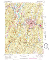
1967 Map of Southbridge
USGS Topo · Published 1984About this map
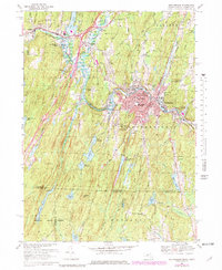
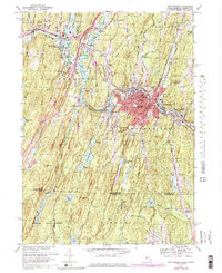
The Quinebaug River carves through this central Massachusetts landscape, anchoring the industrial and cultural heart of Southbridge and Sturbridge. In the 1960s, the area reflects a transition from early manufacturing to modern infrastructure, where the Providence And Worcester railroad runs parallel to the river through Sandersdale. A significant historical concentration is evident at Old Sturbridge Village, which preserves the character of a New England settlement complete with its own Covered Bridge. To the south, the terrain becomes increasingly rural as it enters the Nipmuck State Forest and crosses the border into Connecticut near Breakneck Pond. The map documents a community deeply connected to its water resources, from the recreational waters of Westville Lake to the vital supply of the Cohasse Brook Reservoir.
Find a feature on this map
74 named features on this map. Tap any name to fly to it.
Don’t see what you’re looking for? This feature index may not catch every label — zoom into the map to look around manually.
Map Details
Editions of this 1967 Southbridge Map
6 editions found
Other maps of this area

1887 · Brookfield
USGS Topo · 1:62,500

1889 · Webster
USGS Topo · 1:62,500

1889 · Putnam
USGS Topo · 1:62,500

1890 · Brookfield
USGS Topo · 1:62,500

1892 · Woodstock
USGS Topo · 1:62,500

1892 · Webster
USGS Topo · 1:62,500

1893 · Putnam
USGS Topo · 1:62,500

1893 · Brookfield
USGS Topo · 1:62,500

1908 · Quinsigamond
USGS Topo · 1:125,000

1908 · Ware
USGS Topo · 1:125,000