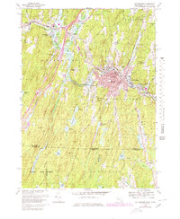
1967 Map of Southbridge
USGS Topo · Published 1979About this map
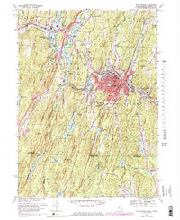
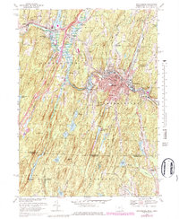
Industrial and educational centers define this southern Worcester County landscape, where the Quinebaug River winds through the densely settled heart of Southbridge. This survey records the town's mid-century footprint, including the Harrington Mem Hospital and the cluster of parochial and public institutions like Marianhill High Sch and Southbridge High Sch. The map documents a distinct mix of manufacturing heritage and burgeoning tourism, anchored by Old Sturbridge Village in the northwest and the mill-associated neighborhood of Sandersdale to the east.
Find a feature on this map
67 named features on this map. Tap any name to fly to it.
Don’t see what you’re looking for? This feature index may not catch every label — zoom into the map to look around manually.
Map Details
Editions of this 1967 Southbridge Map
6 editions found
Other maps of this area

1887 · Brookfield
USGS Topo · 1:62,500

1889 · Webster
USGS Topo · 1:62,500

1889 · Putnam
USGS Topo · 1:62,500

1890 · Brookfield
USGS Topo · 1:62,500

1892 · Woodstock
USGS Topo · 1:62,500

1892 · Webster
USGS Topo · 1:62,500

1893 · Putnam
USGS Topo · 1:62,500

1893 · Brookfield
USGS Topo · 1:62,500

1908 · Quinsigamond
USGS Topo · 1:125,000

1908 · Ware
USGS Topo · 1:125,000