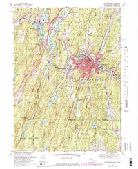
1967 Map of Southbridge
USGS Topo · Published 1984About this map
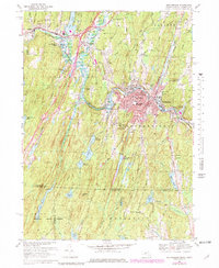
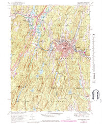
Industrial development and living history converge along the Quinebaug River in this detailed study of the Massachusetts-Connecticut borderlands. The urban center of Southbridge is densely mapped, showing a concentration of community institutions including Harrington Mem Hospital, the Southbridge High Sch, and several parish schools like Notre Dame Sch. Just west, the recreation of a nineteenth-century town at Old Sturbridge Village sits in contrast to the modern infrastructure of the Mass Tpke and Westville Lake.
Find a feature on this map
75 named features on this map. Tap any name to fly to it.
Don’t see what you’re looking for? This feature index may not catch every label — zoom into the map to look around manually.
Map Details
Editions of this 1967 Southbridge Map
6 editions found
Other maps of this area

1887 · Brookfield
USGS Topo · 1:62,500

1889 · Webster
USGS Topo · 1:62,500

1889 · Putnam
USGS Topo · 1:62,500

1890 · Brookfield
USGS Topo · 1:62,500

1892 · Woodstock
USGS Topo · 1:62,500

1892 · Webster
USGS Topo · 1:62,500

1893 · Putnam
USGS Topo · 1:62,500

1893 · Brookfield
USGS Topo · 1:62,500

1908 · Quinsigamond
USGS Topo · 1:125,000

1908 · Ware
USGS Topo · 1:125,000