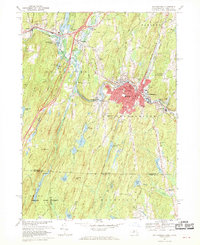
1967 Map of Southbridge
USGS Topo · Published 1970About this map
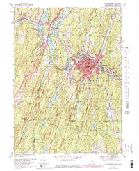
The Quinebaug River anchors this central Massachusetts landscape, flowing through the industrial heart of Southbridge and past the living history museum at Old Sturbridge Village. During the late 1960s, the region reflected a mix of historic settlement and modern infrastructure, visible in the sprawling Westville Reservoir and the intersection of major transit routes. The map documents a dense network of local institutions, from St Annes Shrine and its nearby St Annes Sem to the numerous parochial schools like Notre Dame Sch and Marianhill High Sch.
Find a feature on this map
77 named features on this map. Tap any name to fly to it.
Don’t see what you’re looking for? This feature index may not catch every label — zoom into the map to look around manually.
Map Details
Editions of this 1967 Southbridge Map
6 editions found
Other maps of this area

1887 · Brookfield
USGS Topo · 1:62,500

1889 · Webster
USGS Topo · 1:62,500

1889 · Putnam
USGS Topo · 1:62,500

1890 · Brookfield
USGS Topo · 1:62,500

1892 · Woodstock
USGS Topo · 1:62,500

1892 · Webster
USGS Topo · 1:62,500

1893 · Putnam
USGS Topo · 1:62,500

1893 · Brookfield
USGS Topo · 1:62,500

1908 · Quinsigamond
USGS Topo · 1:125,000

1908 · Ware
USGS Topo · 1:125,000