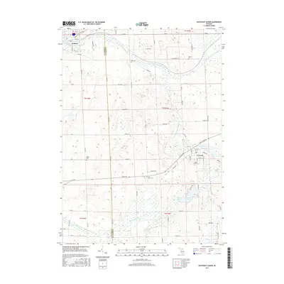
2017 Map of Southeast Albion
USGS Topo · Published 2017About this map
Concord and the southeastern outskirts of Albion anchor this landscape along the border of Calhoun and Jackson counties. The terrain is defined by the complex hydrology of the Kalamazoo River watershed, where the North Branch and South Branch carve through glacial topography. This area is characterized by numerous small basins and wetlands, including Swains Lake, Brail Lake, and Bartell Lake. Local history is well-preserved through a network of rural burial grounds such as Bayn Cemetery and South Albion Cemetery. In the village of Concord, the Mill Pond reflects the early industrial reliance on water power, while the surrounding grid of section-line roads like 30 Mile Road and Allman Road illustrates the persistent agrarian structure of south-central Michigan.
Find a feature on this map
80 named features on this map. Tap any name to fly to it.
Don’t see what you’re looking for? This feature index may not catch every label — zoom into the map to look around manually.
Map Details
Editions of this 2017 Southeast Albion Map
This is the sole edition of this map. No revisions or reprints were ever made.
Other maps of this area

1919 · Springport
USGS Topo · 1:62,500

1921 · Springport
USGS Topo · 1:62,500

1921 · Marshall
USGS Topo · 1:62,500

1923 · Marshall
USGS Topo · 1:62,500

1943 · Marshall
USGS Topo · 1:62,500

1948 · Spring Arbor
USGS Topo · 1:62,500

1948 · Homer
USGS Topo · 1:62,500

1949 · Homer
USGS Topo · 1:62,500

1949 · Spring Arbor
USGS Topo · 1:62,500

1958 · Grand Rapids
USGS Topo · 1:250,000