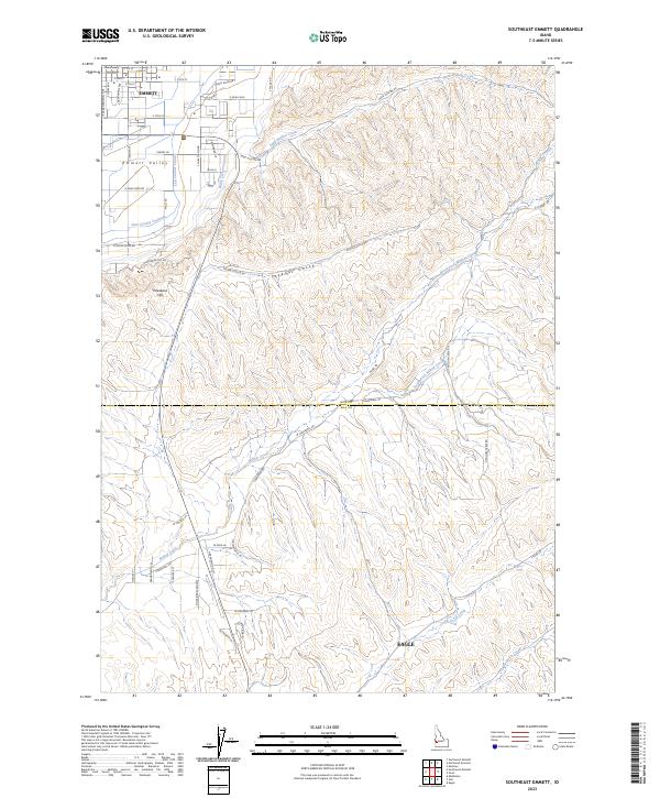
2023 Map of Southeast Emmett
USGS Topo · Published 2023About this map
The Gem County Courthouse stands as a central landmark in Emmett, anchoring the northern portion of this survey where the city streets give way to the agricultural expanse of Emmett Valley. The landscape is defined by its sophisticated water management system, featuring the Last Chance Canal and Black Canyon Canal which facilitate farming across the drainage. To the south, the terrain rises toward Freezeout Hill, a significant geographical transition overlooking the valley floor.
Find a feature on this map
63 named features on this map. Tap any name to fly to it.
Don’t see what you’re looking for? This feature index may not catch every label — zoom into the map to look around manually.
Map Details
Editions of this 2023 Southeast Emmett Map
This is the sole edition of this map. No revisions or reprints were ever made.
Other maps of this area

1892 · Boise
USGS Topo · 1:125,000

1897 · Boise
USGS Topo · 1:125,000

1898 · Nampa
USGS Topo · 1:125,000

1953 · Eagle
USGS Topo · 1:24,000

1953 · Star
USGS Topo · 1:24,000

1953 · Montour
USGS Topo · 1:62,500

1955 · Boise
USGS Topo · 1:250,000

1958 · Boise
USGS Topo · 1:250,000
1958 · Middleton
USGS Topo · 1:24,000

1962 · Boise
USGS Topo · 1:250,000