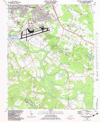
1982 Map of Southeast Goldsboro
USGS Topo · Published 1983About this map
Seymour Johnson Air Force Base dominates the landscape southeast of Goldsboro, serving as a major military hub with its expansive runways and Military Reservation Boundary during the early 1980s. The surrounding area in Wayne County is a complex mix of suburban growth and traditional agricultural land, defined by the winding course of the Neuse River. Numerous small communities and neighborhoods like Webtown, Airboro, and Adamsville are established alongside long-standing local landmarks.
Find a feature on this map
65 named features on this map. Tap any name to fly to it.
Don’t see what you’re looking for? This feature index may not catch every label — zoom into the map to look around manually.
Map Details
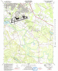
Editions of this 1982 Southeast Goldsboro Map
2 editions found
Other maps of this area

1953 · Rocky Mount
USGS Topo · 1:250,000

1953 · Raleigh
USGS Topo · 1:250,000

1954 · Rocky Mount
USGS Topo · 1:250,000

1954 · Raleigh
USGS Topo · 1:250,000

1957 · Goldsboro
USGS Topo · 1:62,500

1957 · Seven Springs
USGS Topo · 1:62,500

1974 · Northwest Goldsboro
USGS Topo · 1:24,000

1974 · Southwest Goldsboro
USGS Topo · 1:24,000
1977 · Mount Olive
USGS Topo · 1:24,000

1980 · Seven Springs
USGS Topo · 1:24,000