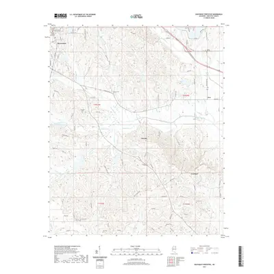
2021 Map of Southeast Pontotoc
USGS Topo · Published 2021About this map
The Pontotoc County Courthouse and Pontotoc County Chancery Court anchor the historic seat of Pontotoc in the northwest corner of this map, which transitions into a landscape of rural hamlets and creek bottoms. The terrain is defined by numerous drainage systems including Chiwapa Cr, Calloway Creek, and Donaldson Cr. Notable topographic features such as Cates Cove and Gideon Bend illustrate the varied relief of the region.
Find a feature on this map
93 named features on this map. Tap any name to fly to it.
Don’t see what you’re looking for? This feature index may not catch every label — zoom into the map to look around manually.
Map Details
Editions of this 2021 Southeast Pontotoc Map
This is the sole edition of this map. No revisions or reprints were ever made.
Other maps of this area

1949 · New Albany
USGS Topo · 1:62,500

1951 · New Albany
USGS Topo · 1:62,500

1955 · Sherman
USGS Topo · 1:62,500

1956 · Tupelo
USGS Topo · 1:250,000

1958 · Tupelo
USGS Topo · 1:250,000

1966 · Troy NW
USGS Topo · 1:24,000

1966 · Troy SE
USGS Topo · 1:24,000

1966 · Bissell
USGS Topo · 1:24,000

1966 · Troy
USGS Topo · 1:24,000

1972 · Houlka
USGS Topo · 1:24,000