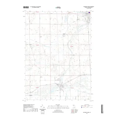
2019 Map of Southwest Albion
USGS Topo · Published 2019About this map
Albion and Homer anchor this 2019 survey of Calhoun County, Michigan, where the headwaters of two major river systems nearly meet. The South Branch Kalamazoo River flows northward toward the main channel of the Kalamazoo River, while the Saint Joseph River appears in the southern reaches near Clarendon. This landscape is defined by its glacial hydrology, featuring numerous agricultural drainage systems like the Ball and Patterson Drain and Lampson Run Drain that navigate the low-lying terrain between small rises.
Find a feature on this map
87 named features on this map. Tap any name to fly to it.
Don’t see what you’re looking for? This feature index may not catch every label — zoom into the map to look around manually.
Map Details
Editions of this 2019 Southwest Albion Map
This is the sole edition of this map. No revisions or reprints were ever made.
Other maps of this area

1919 · Springport
USGS Topo · 1:62,500

1921 · Springport
USGS Topo · 1:62,500

1921 · Marshall
USGS Topo · 1:62,500

1923 · Marshall
USGS Topo · 1:62,500

1943 · Marshall
USGS Topo · 1:62,500

1948 · Spring Arbor
USGS Topo · 1:62,500

1948 · Homer
USGS Topo · 1:62,500

1949 · Homer
USGS Topo · 1:62,500

1949 · Spring Arbor
USGS Topo · 1:62,500

1958 · Grand Rapids
USGS Topo · 1:250,000