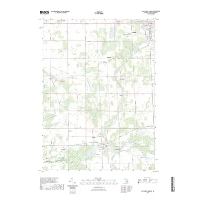
2023 Map of Southwest Albion
USGS Topo · Published 2023About this map
Albion and Homer anchor this portion of Calhoun County, where the South Branch Kalamazoo River and Wilder Creek carve through the agricultural landscape. The map reveals a dense network of country burial grounds, including the Albion Memory Gardens Cem and the smaller Bryant-Ketchum Cem, which are vital for genealogical research in this part of Michigan. The terrain is marked by an extensive drainage system, such as Goose Pond Drain and Lampson Run Drain, illustrating the long-term management of the local watershed for farming and settlement.
Find a feature on this map
63 named features on this map. Tap any name to fly to it.
Don’t see what you’re looking for? This feature index may not catch every label — zoom into the map to look around manually.
Map Details
Editions of this 2023 Southwest Albion Map
This is the sole edition of this map. No revisions or reprints were ever made.
Other maps of this area

1919 · Springport
USGS Topo · 1:62,500

1921 · Springport
USGS Topo · 1:62,500

1921 · Marshall
USGS Topo · 1:62,500

1923 · Marshall
USGS Topo · 1:62,500

1943 · Marshall
USGS Topo · 1:62,500

1948 · Spring Arbor
USGS Topo · 1:62,500

1948 · Homer
USGS Topo · 1:62,500

1949 · Homer
USGS Topo · 1:62,500

1949 · Spring Arbor
USGS Topo · 1:62,500

1958 · Grand Rapids
USGS Topo · 1:250,000