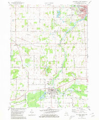
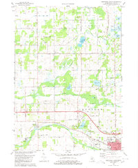
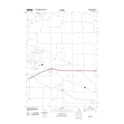
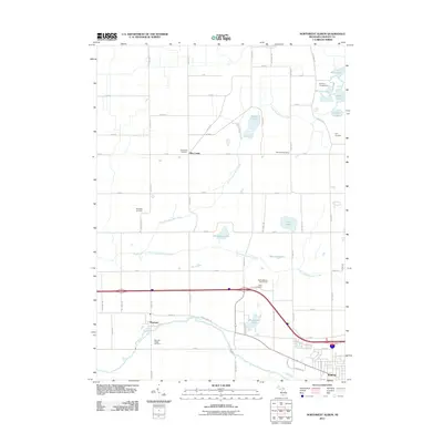
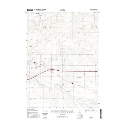
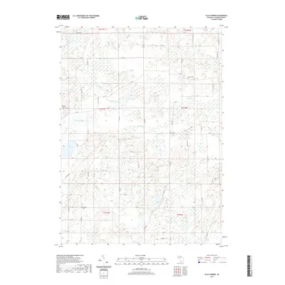
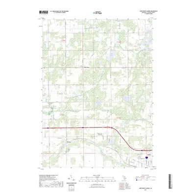
1980 Map of Southwest Albion
USGS Topo · Published 1980About this map
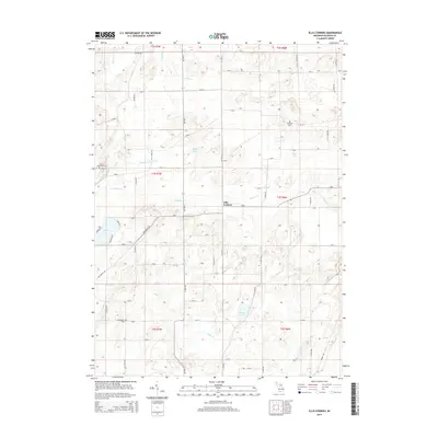
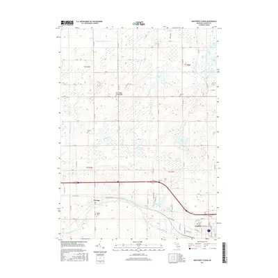
The South Branch Kalamazoo River winds through this 1980 landscape, connecting the industrial and residential centers of Albion and Homer. The map documents a predominantly agricultural region defined by its grid of mile-roads and the presence of the Conrail railroad lines that historically supported these rural communities. To the west, the settlement of Eckford sits near Wilder Creek, while the small cluster at Clarendon marks the southwestern reaches of the survey.
Find a feature on this map
62 named features on this map. Tap any name to fly to it.
Don’t see what you’re looking for? This feature index may not catch every label — zoom into the map to look around manually.
Map Details
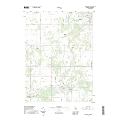
Editions of this 1980 Southwest Albion Map
This is the sole edition of this map. No revisions or reprints were ever made.
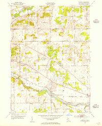
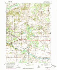
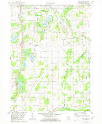
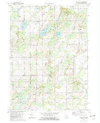
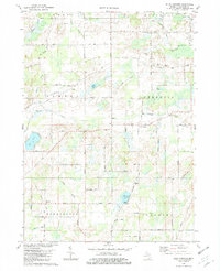
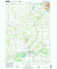
Historical Maps of Albion Through Time
38 maps found
1947 Ceresco
Calhoun County, MI
1961 Ceresco
Calhoun County, MI
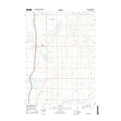
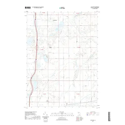
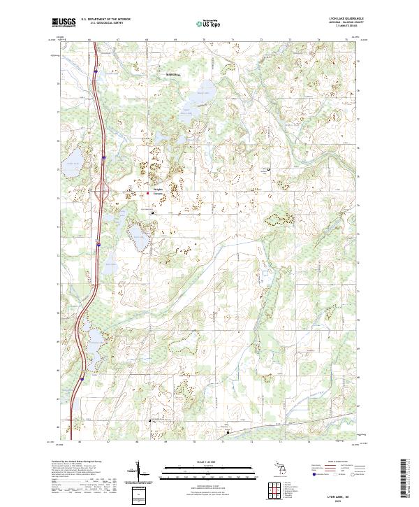
1980 Lyon Lake
Calhoun County, MI
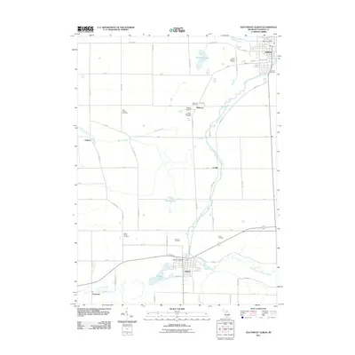
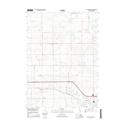
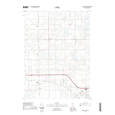
1980 Northwest Albion
Calhoun County, MI
1980 Southwest Albion
Calhoun County, MI
1982 East Leroy
Calhoun County, MI
1982 Ellis Corners
Calhoun County, MI
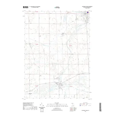
1995 Southwest Albion
Calhoun County, MI
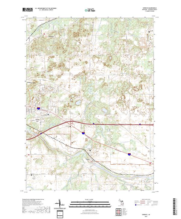
2011 Ceresco
Calhoun County, MI
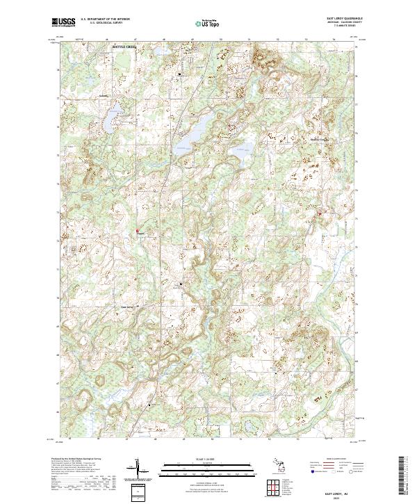
2011 East Leroy
Calhoun County, MI
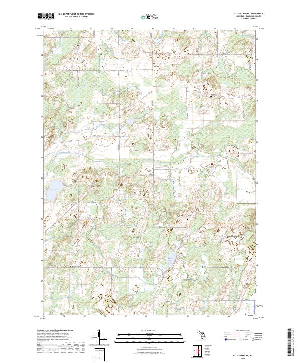
2011 Ellis Corners
Calhoun County, MI
2011 Lyon Lake
Calhoun County, MI
2011 Northwest Albion
Calhoun County, MI
2011 Southwest Albion
Calhoun County, MI
2014 Ceresco
Calhoun County, MI
2014 East Leroy
Calhoun County, MI
2014 Ellis Corners
Calhoun County, MI
2014 Lyon Lake
Calhoun County, MI
2014 Northwest Albion
Calhoun County, MI
2014 Southwest Albion
Calhoun County, MI
2017 Ceresco
Calhoun County, MI
2017 East Leroy
Calhoun County, MI
2017 Ellis Corners
Calhoun County, MI
2017 Lyon Lake
Calhoun County, MI
2017 Northwest Albion
Calhoun County, MI
2017 Southwest Albion
Calhoun County, MI
2019 Ceresco
Calhoun County, MI
2019 East Leroy
Calhoun County, MI
2019 Ellis Corners
Calhoun County, MI
2019 Lyon Lake
Calhoun County, MI
2019 Northwest Albion
Calhoun County, MI
2019 Southwest Albion
Calhoun County, MI
2023 Ceresco
Calhoun County, MI
2023 East Leroy
Calhoun County, MI
2023 Ellis Corners
Calhoun County, MI
2023 Lyon Lake
Calhoun County, MI
2023 Northwest Albion
Calhoun County, MI
2023 Southwest Albion
Calhoun County, MI
Featured Locations
- Homer Township, MI
- Albion, MI
- Homer, Homer Township
- Clarendon, Clarendon Township
- Eckford, Eckford Township