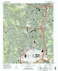
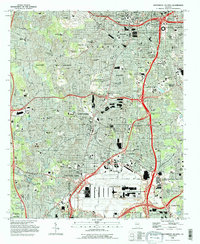
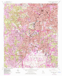
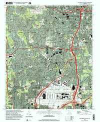
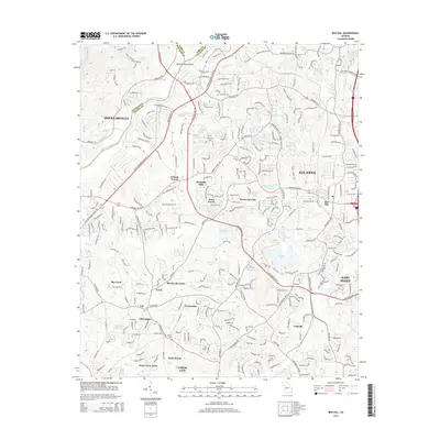
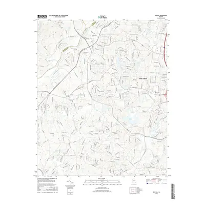
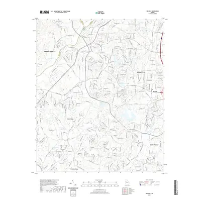
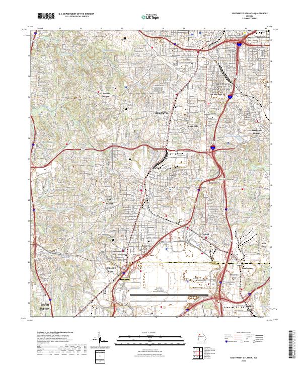
1993 Map of Southwest Atlanta
USGS Topo · Published 1996About this map
Hartsfield Atlanta International Airport dominates the southern portion of this landscape, illustrating the massive scale of regional transportation infrastructure during the 1990s. This urban and suburban transition includes the established Fort McPherson Military Reservation and significant institutional grounds such as Morehouse College, Spelman College, and Clark Atlanta University. The map documents the intricate road network surrounding Atlanta, East Point, and College Park, showing how modern expressways like the Southeast Expwy bisect traditional residential neighborhoods.
Find a feature on this map
112 named features on this map. Tap any name to fly to it.
Don’t see what you’re looking for? This feature index may not catch every label — zoom into the map to look around manually.
Map Details
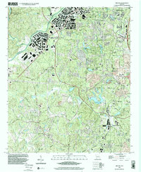
Editions of this 1993 Southwest Atlanta Map
2 editions found
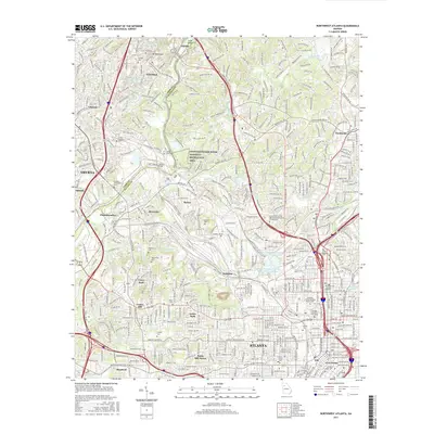
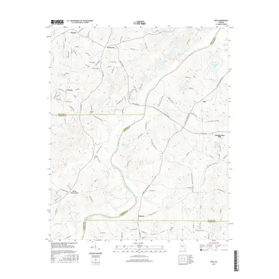
Historical Maps of Atlanta Through Time
29 maps found
1954 Ben Hill
Fulton County, GA
1954 Northwest Atlanta
Fulton County, GA
1954 Southwest Atlanta
Fulton County, GA
1958 Rico
Fulton County, GA
1993 Northwest Atlanta
Fulton County, GA
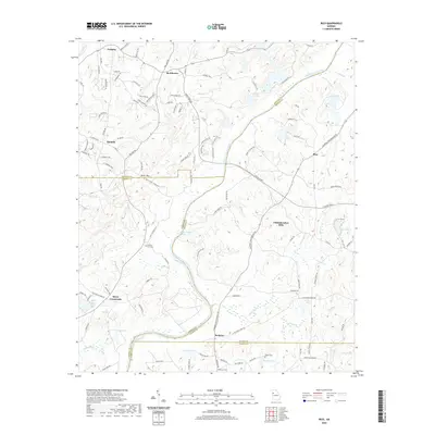
1993 Southwest Atlanta
Fulton County, GA
1997 Northwest Atlanta
Fulton County, GA
1997 Southwest Atlanta
Fulton County, GA
1999 Ben Hill
Fulton County, GA
2011 Ben Hill
Fulton County, GA

2011 Northwest Atlanta
Fulton County, GA
2011 Rico
Fulton County, GA

2011 Southwest Atlanta
Fulton County, GA
2014 Ben Hill
Fulton County, GA

2014 Northwest Atlanta
Fulton County, GA

2014 Rico
Fulton County, GA

2014 Southwest Atlanta
Fulton County, GA
2017 Ben Hill
Fulton County, GA
2017 Northwest Atlanta
Fulton County, GA
2017 Rico
Fulton County, GA

2017 Southwest Atlanta
Fulton County, GA
2020 Ben Hill
Fulton County, GA

2020 Northwest Atlanta
Fulton County, GA
2020 Rico
Fulton County, GA

2020 Southwest Atlanta
Fulton County, GA
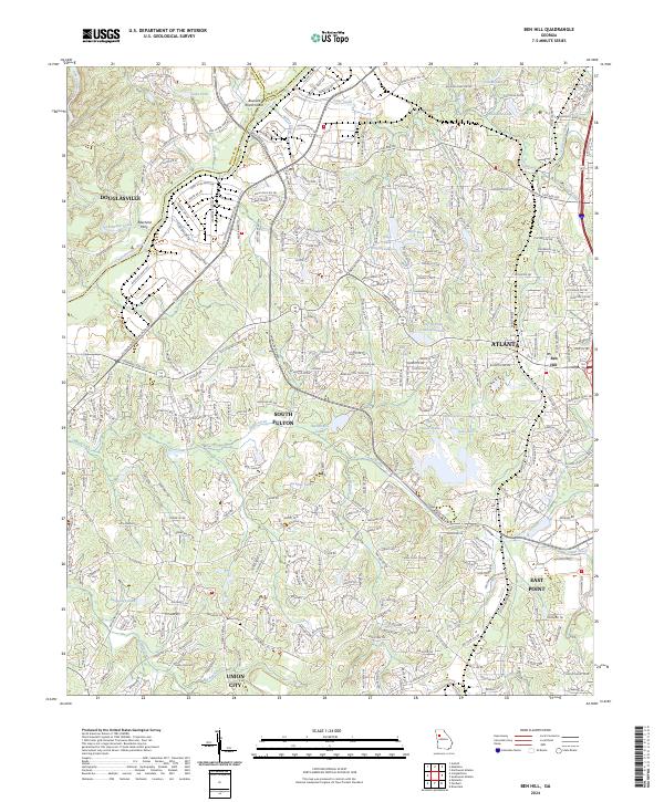
2024 Ben Hill
Fulton County, GA
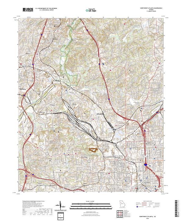
2024 Northwest Atlanta
Fulton County, GA
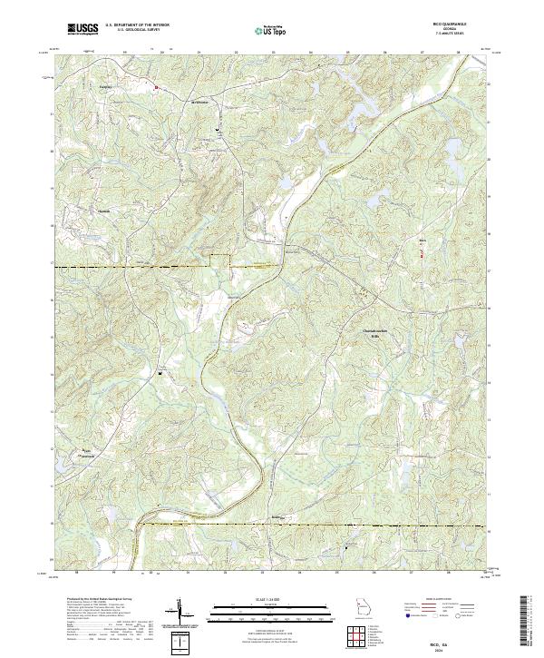
2024 Rico
Fulton County, GA
2024 Southwest Atlanta
Fulton County, GA