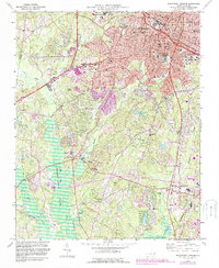
1973 Map of Southwest Durham
USGS Topo · Published 1987About this map
Duke University and North Carolina Central University anchor the northern landscape of this region during a period of significant suburban expansion. The transition from the urban core of Durham to the rural south is marked by a network of drainage basins, including New Hope Creek and Northeast Creek, which feed into the extensive B Everett Jordan Lake in the southwest. This era shows the early footprints of the Triangle Research Park, signaling the area's shift toward a knowledge-based economy.
Find a feature on this map
65 named features on this map. Tap any name to fly to it.
Don’t see what you’re looking for? This feature index may not catch every label — zoom into the map to look around manually.
Map Details
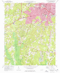
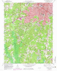
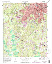
Editions of this 1973 Southwest Durham Map
4 editions found
Other maps of this area

1943 · Durham South
USGS Topo · 1:62,500

1946 · Chapel Hill
USGS Topo · 1:24,000

1947 · Chapel Hill
USGS Topo · 1:31,680

1951 · Farrington
USGS Topo · 1:24,000

1951 · Durham South
USGS Topo · 1:62,500

1951 · Durham North
USGS Topo · 1:62,500

1953 · Raleigh
USGS Topo · 1:250,000

1953 · Greensboro
USGS Topo · 1:250,000

1954 · Greensboro
USGS Topo · 1:250,000

1954 · Raleigh
USGS Topo · 1:250,000