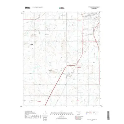
2018 Map of Southwest Muskogee
USGS Topo · Published 2018About this map
Muskogee spreads across the northeastern corner of this 2018 survey, marking the urban edge where city streets transition into the rolling terrain of eastern Oklahoma. The map documents the southwestern expansion of the city into West Muskogee, characterized by residential developments such as Evelyn Ave and Azalea Dr. Outside the city limits, the landscape is defined by traditional township structures and small communities like Summit and Crekola.
Find a feature on this map
50 named features on this map. Tap any name to fly to it.
Don’t see what you’re looking for? This feature index may not catch every label — zoom into the map to look around manually.
Map Details
Editions of this 2018 Southwest Muskogee Map
This is the sole edition of this map. No revisions or reprints were ever made.
Other maps of this area

1896 · Okmulgee
USGS Topo · 1:125,000

1900 · Okmulgee
USGS Topo · 1:125,000

1901 · Muscogee
USGS Topo · 1:125,000

1905 · Muscogee
USGS Topo · 1:125,000

1946 · Fort Smith
USGS Topo · 1:250,000

1948 · Keefeton
USGS Topo · 1:62,500

1948 · Wagoner
USGS Topo · 1:62,500

1950 · Keefeton
USGS Topo · 1:62,500

1950 · Wagoner
USGS Topo · 1:62,500

1965 · Fort Smith
USGS Topo · 1:250,000