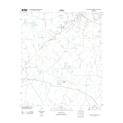
2013 Map of Southwest Palestine
USGS Topo · Published 2013About this map
Trinity River floodplains and the southwest periphery of Palestine define this 2013 landscape in Anderson County. The area is characterized by a high density of small water bodies and drainage systems, including Gum Cr, Cedar Cr, and Mack Cr. Genealogy researchers will find several notable burial sites such as Ft Houston Cem, Bacon Cem, and Magnolia Cem, alongside the small community of Tucker to the west. Evidence of the local energy economy is seen in the Long Lake Oil Field, while the Lakeview Assembly grounds at Lakeview Methodist Lake provide a clear view of the area's social and religious infrastructure. The northern edge shows the transition into urban development near the city, including local landmarks like Old Salt Works Lake.
Find a feature on this map
122 named features on this map. Tap any name to fly to it.
Don’t see what you’re looking for? This feature index may not catch every label — zoom into the map to look around manually.
Map Details
Editions of this 2013 Southwest Palestine Map
This is the sole edition of this map. No revisions or reprints were ever made.
Other maps of this area

1949 · Palestine
USGS Topo · 1:62,500

1949 · Tennessee Colony
USGS Topo · 1:62,500

1950 · Palestine
USGS Topo · 1:62,500

1950 · Tennessee Colony
USGS Topo · 1:62,500

1951 · Elkhart
USGS Topo · 1:62,500

1953 · Palestine
USGS Topo · 1:250,000

1957 · Palestine
USGS Topo · 1:250,000

1964 · Long Lake
USGS Topo · 1:24,000

1964 · Oakwood
USGS Topo · 1:24,000

1981 · Palestine
USGS Topo · 1:100,000