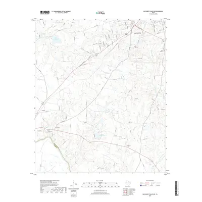
2019 Map of Southwest Palestine
USGS Topo · Published 2019About this map
Palestine sits at the northern edge of this landscape, where the modern corridor of Loop 256 meets established neighborhoods and the historic Fort Houston Cem. The terrain to the south and west is defined by a dense network of tributaries including Gum Cr, Crooked Cr, and Cedar Cr, which flow toward the Trinity River at the Anderson and Leon County line. This area preserves a high concentration of sites important for genealogical research, with numerous burial grounds such as Bacon Cem, Magnolia Cem, and Pleasant Springs Cem scattered across the rural countryside.
Find a feature on this map
102 named features on this map. Tap any name to fly to it.
Don’t see what you’re looking for? This feature index may not catch every label — zoom into the map to look around manually.
Map Details
Editions of this 2019 Southwest Palestine Map
This is the sole edition of this map. No revisions or reprints were ever made.
Other maps of this area

1949 · Palestine
USGS Topo · 1:62,500

1949 · Tennessee Colony
USGS Topo · 1:62,500

1950 · Palestine
USGS Topo · 1:62,500

1950 · Tennessee Colony
USGS Topo · 1:62,500

1951 · Elkhart
USGS Topo · 1:62,500

1953 · Palestine
USGS Topo · 1:250,000

1957 · Palestine
USGS Topo · 1:250,000

1964 · Long Lake
USGS Topo · 1:24,000

1964 · Oakwood
USGS Topo · 1:24,000

1981 · Palestine
USGS Topo · 1:100,000