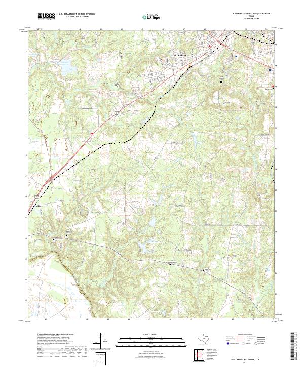
2022 Map of Southwest Palestine
USGS Topo · Published 2022About this map
The southwestern reaches of Palestine transition from urban streets into a landscape defined by several family and community burial grounds, reflecting the deep-rooted settlement history of the area. This portion of the county includes the historic Fort Houston Cem and the Texas Methodist Conference Cem, alongside smaller sites like Bacon Cem Number 1 and Magnolia Cem near the community of Tucker.
Find a feature on this map
103 named features on this map. Tap any name to fly to it.
Don’t see what you’re looking for? This feature index may not catch every label — zoom into the map to look around manually.
Map Details
Editions of this 2022 Southwest Palestine Map
This is the sole edition of this map. No revisions or reprints were ever made.
Other maps of this area

1949 · Palestine
USGS Topo · 1:62,500

1949 · Tennessee Colony
USGS Topo · 1:62,500

1950 · Palestine
USGS Topo · 1:62,500

1950 · Tennessee Colony
USGS Topo · 1:62,500

1951 · Elkhart
USGS Topo · 1:62,500

1953 · Palestine
USGS Topo · 1:250,000

1957 · Palestine
USGS Topo · 1:250,000

1964 · Long Lake
USGS Topo · 1:24,000

1964 · Oakwood
USGS Topo · 1:24,000

1981 · Palestine
USGS Topo · 1:100,000