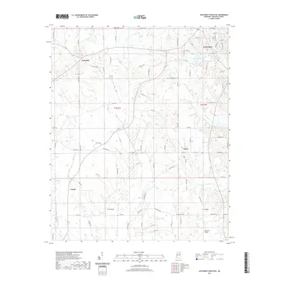
2021 Map of Southwest Pontotoc
USGS Topo · Published 2021About this map
Pontotoc anchors the northeastern corner of this landscape, where the town grid meets the rolling elevations of the Pontotoc Ridge. The topography here is defined by a dense network of drainage, with the Skuna River and Little Skuna Cr carving southward through the center of the sheet. These watercourses, along with Lappatubby Cr and Chiwapa Cr, create a highly dissected terrain that has historically influenced the placement of rural settlements and winding country roads.
Find a feature on this map
90 named features on this map. Tap any name to fly to it.
Don’t see what you’re looking for? This feature index may not catch every label — zoom into the map to look around manually.
Map Details
Editions of this 2021 Southwest Pontotoc Map
This is the sole edition of this map. No revisions or reprints were ever made.
Other maps of this area

1949 · New Albany
USGS Topo · 1:62,500

1951 · New Albany
USGS Topo · 1:62,500

1955 · Sherman
USGS Topo · 1:62,500

1956 · Tupelo
USGS Topo · 1:250,000

1958 · Tupelo
USGS Topo · 1:250,000

1966 · Troy NW
USGS Topo · 1:24,000

1966 · Troy
USGS Topo · 1:24,000

1972 · Houlka
USGS Topo · 1:24,000

1972 · Robbs
USGS Topo · 1:24,000

1972 · Randolph
USGS Topo · 1:24,000