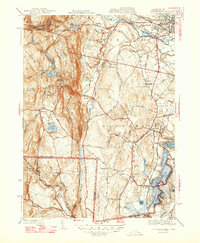
1947 Map of Southwick
USGS Topo · Published 1947About this map
The Westfield Little River carves through the northern landscape of this 1947 edition, flowing past the Little Gorge and Rocky Point as it approaches Westfield. This survey highlights a post-war rural economy where industrial utilities and local institutions sit side-by-side, such as the Power House and West Parish Filters near the West Parish School. The New Haven and Hartford RR provides a critical north-south corridor, connecting Southwick Depot to the broader regional network. To the south, the Congamond Lakes dominate the terrain at the border, while higher elevations like Drake Mountain and Badluck Mtn define the western reaches near Granville. Genealogists will find numerous family landmarks, including the Rice Cem and Northeast Cem, alongside the Southwick Ch at the heart of its namesake town.
Find a feature on this map
109 named features on this map. Tap any name to fly to it.
Don’t see what you’re looking for? This feature index may not catch every label — zoom into the map to look around manually.
Map Details
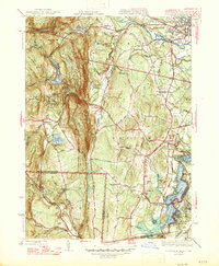
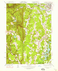
Editions of this 1947 Southwick Map
3 editions found
Other maps of this area

1886 · Springfield
USGS Topo · 1:62,500

1887 · Granville
USGS Topo · 1:62,500

1889 · Springfield
USGS Topo · 1:62,500

1889 · Granville
USGS Topo · 1:62,500

1892 · Hartford
USGS Topo · 1:62,500

1892 · Granby
USGS Topo · 1:62,500

1893 · Springfield
USGS Topo · 1:62,500

1893 · Granville
USGS Topo · 1:62,500

1895 · Springfield
USGS Topo · 1:62,500

1895 · Granville
USGS Topo · 1:62,500