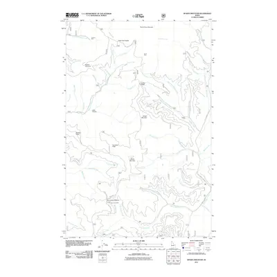
2011 Map of Spades Mountain
USGS Topo · Published 2011About this map
Bradbury Mine and Dandy Mine anchor the northern reaches of this high-elevation landscape, documenting the legacy of mineral exploration in Kootenai County. The terrain is defined by a dense network of ridges and drainages, including Deerfoot Ridge and Tenderfoot Ridge, which channel water into significant tributaries such as the Little North Fork Coeur d'Alene River. This 2011 survey shows the area's transition into a space primarily used for forestry and recreation, with Hudlow Camp serving as a localized point of interest within the forest service road system.
Find a feature on this map
54 named features on this map. Tap any name to fly to it.
Don’t see what you’re looking for? This feature index may not catch every label — zoom into the map to look around manually.
Map Details
Editions of this 2011 Spades Mountain Map
This is the sole edition of this map. No revisions or reprints were ever made.
Other maps of this area

1903 · Rathdrum
USGS Topo · 1:125,000

1909 · Cataldo
USGS Topo · 1:125,000

1911 · Cataldo
USGS Topo · 1:125,000

1955 · Spokane
USGS Topo · 1:250,000

1957 · Kingston
USGS Topo · 1:62,500

1957 · Lane
USGS Topo · 1:62,500

1958 · Spokane
USGS Topo · 1:250,000

1961 · Bayview
USGS Topo · 1:24,000
1961 · Lakeview
USGS Topo · 1:24,000

1961 · Athol
USGS Topo · 1:24,000