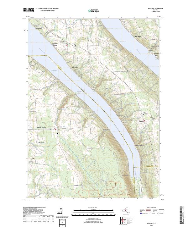
2023 Map of Spafford
USGS Topo · Published 2023About this map
Skaneateles Creek and the deep waters of Skaneateles Lake dominate this Finger Lakes landscape, where steep ridges separate long, glacial valleys. The settlement of Spafford sits high on the eastern ridge, served by local landmarks like the Spafford Cem and Lewis Family Cem. To the north, the small community of Borodino and its waterfront counterpart Borodino Landing reflect the area's long history as a summer destination and agricultural hub. Along the eastern edge of the map, Otisco Lake and the Gamble Mill on Rice Brook point to the early water-powered industry that once defined these narrow valleys. The rugged geography is further detailed by numerous named points and gulfs, such as Stag Horn Point and Barber Gulf, which illustrate the dramatic erosion patterns common to the region's shale geology.
Find a feature on this map
154 named features on this map. Tap any name to fly to it.
Don’t see what you’re looking for? This feature index may not catch every label — zoom into the map to look around manually.
Map Details
Editions of this 2023 Spafford Map
This is the sole edition of this map. No revisions or reprints were ever made.
Other maps of this area

1898 · Moravia
USGS Topo · 1:62,500

1899 · Skaneateles
USGS Topo · 1:62,500

1900 · Tully
USGS Topo · 1:62,500

1902 · Skaneateles
USGS Topo · 1:62,500

1902 · Moravia
USGS Topo · 1:62,500

1903 · Cortland
USGS Topo · 1:62,500

1943 · South Onondaga
USGS Topo · 1:31,680

1943 · Moravia
USGS Topo · 1:31,680

1943 · Spafford
USGS Topo · 1:31,680

1943 · Owasco
USGS Topo · 1:31,680