
1960 Map of Spalding 2 SE
USGS Topo · Published 1962About this map
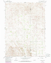
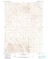
Wheeler and Boone County lines bisect this rural landscape during the early 1960s, a period when the Nebraska sandhills region remained defined by isolated townships and decentralized education. The terrain is dominated by the townships of Caldwell, Oakland, and Bonanza, where the hydrology of Mud Creek dictates the placement of roads and homesteads. Local history is anchored by a network of numbered rural schools, including School No 11 and School No 19, reflecting the district-based social structure of the era. A small Cem stands as a quiet genealogical marker in the southern reaches of the quadrangle, illustrating the proximity of family burial sites to the working ranches and farms of central Nebraska.
Find a feature on this map
9 named features on this map. Tap any name to fly to it.
Don’t see what you’re looking for? This feature index may not catch every label — zoom into the map to look around manually.
Map Details
Editions of this 1960 Spalding 2 SE Map
3 editions found
Other maps of this area

1954 · Spalding
USGS Topo · 1:24,000

1954 · Akron
USGS Topo · 1:24,000

1954 · Spalding NW
USGS Topo · 1:24,000

1955 · Broken Bow
USGS Topo · 1:250,000

1956 · Broken Bow
USGS Topo · 1:250,000

1960 · Spalding 2 SW
USGS Topo · 1:24,000

1960 · Spalding 2 NW
USGS Topo · 1:24,000

1960 · Spalding 2 NE
USGS Topo · 1:24,000

1963 · Elgin NW
USGS Topo · 1:24,000
1963 · Elgin SW
USGS Topo · 1:24,000