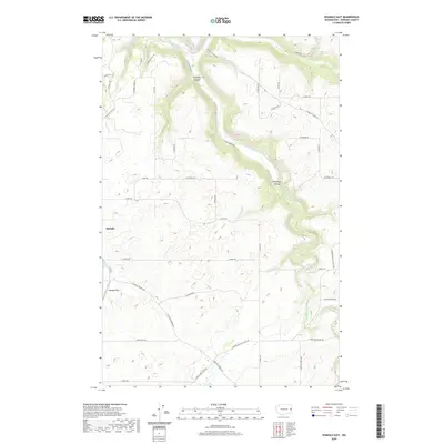
2020 Map of Spangle East
USGS Topo · Published 2020About this map
Spangle anchors the western edge of this landscape, situated along the valley floor where Spangle Cr winds through the terrain. The area is defined by the significant drainage of Hangman Creek, which cuts a prominent path through Hangman Valley toward the north. This 2020 survey reveals a rural network of family-named roads and agricultural lands, with topographical features like Courtney Canyon providing distinct relief against the surrounding plateaus. To the west of the main settlement lies Spangle Field, a local landmark that underscores the community's established footprint. The map also traces the winding course of Rock Cr in the northeast corner, illustrating the complex water systems that have shaped the land use and road patterns in this part of Spokane County. This modern study documents the persistence of historic property lines and thoroughfares such as E Valley Chapel Rd and S Spangle Waverly Rd.
Find a feature on this map
42 named features on this map. Tap any name to fly to it.
Don’t see what you’re looking for? This feature index may not catch every label — zoom into the map to look around manually.
Map Details
Editions of this 2020 Spangle East Map
This is the sole edition of this map. No revisions or reprints were ever made.
Other maps of this area

1901 · Spokane
USGS Topo · 1:125,000

1903 · Oakesdale
USGS Topo · 1:125,000

1905 · Oakesdale
USGS Topo · 1:125,000

1949 · Greenacres
USGS Topo · 1:62,500

1950 · Spokane SE
USGS Topo · 1:24,000

1950 · Spokane SW
USGS Topo · 1:24,000

1950 · Spokane
USGS Topo · 1:62,500

1951 · Greenacres
USGS Topo · 1:62,500

1954 · Spangle
USGS Topo · 1:62,500

1954 · Fairfield
USGS Topo · 1:62,500