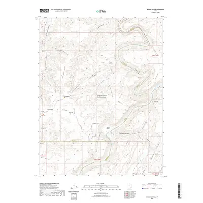
2020 Map of Spanish Bottom
USGS Topo · Published 2020About this map
Canyonlands National Park encompasses the desert landscape where the Green River and Colorado River converge, a junction marked by the swift waters of Brown Betty Rapids. This 2020 survey details the complex network of canyons and mesas at the borders of San Juan, Wayne, and Garfield counties. The topography is defined by significant natural formations such as the Chocolate Drops and Petes Mesa, while the alluvial floor of Spanish Bottom provides a rare level landing beside the river's deep incisions into the plateau.
Find a feature on this map
61 named features on this map. Tap any name to fly to it.
Don’t see what you’re looking for? This feature index may not catch every label — zoom into the map to look around manually.
Map Details
Editions of this 2020 Spanish Bottom Map
This is the sole edition of this map. No revisions or reprints were ever made.
Other maps of this area

1885 · San Rafael
USGS Topo · 1:250,000

1885 · La Sal
USGS Topo · 1:250,000

1951 · Upheaval Dome
USGS Topo · 1:62,500

1952 · Carlisle 2 SE
USGS Topo · 1:24,000

1952 · Carlisle 2 SW
USGS Topo · 1:24,000

1953 · Carlisle 3 NW
USGS Topo · 1:24,000

1953 · Orange Cliffs 1 SE
USGS Topo · 1:24,000

1953 · Orange Cliffs 4 NE
USGS Topo · 1:24,000

1953 · The Spur
USGS Topo · 1:62,500

1953 · The Needles
USGS Topo · 1:62,500